ask for a contact
- text
- datasheet
- download
- support
- video
• Input from all Topographic Instruments, from ASCII files, from PREGEO, from DXF files
• Solver for polygonal, celerimetric, plano-altimetric
• Artifices for calculation of new points and Division of Areas
• Advanced management of the CENSUATION DATABASE
• Calibration and compensation of maps read by scanners or scanned, including the union of several raster maps and overlapping with the topographic survey
• Advanced management and design of the PF shirt
• Automated procedures for redevelopment with the barycentric rototranslation system
• Wide library of Topographic Problems: Off-center, Snellius, Hansen, Intersections, triangles
• DXF file and bidirectional connection to AutoCAD
• Dimensioned Plan drawing with level curves, sections and profiles
• Surveying and automatic return of building facades
• Generate the self-made map extract in PREGEO mode and CAD mode
• Compatibility with PREGEO10
• Link with GOOGLE MAPS with the possibility to view the GPS survey book on the map
• Continuous update of importing files from GPS tools of different brands and models
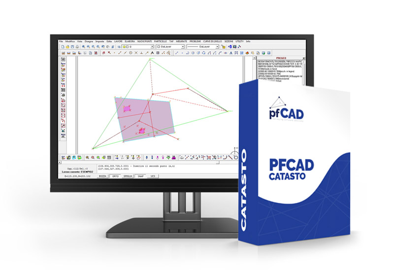
SOFTWARE
PFCAD CATASTO 22.00 (154) - Dim. 59.2 MB - Date 23/03/2018
PFCAD CATASTO SATELLITE 22.00 (154) - Dim. 59.2 MB - Date 23/03/2018
POSTGEO 22.00 (154) - Dim. 59.2 MB - Date 23/03/2018
PFCAD DATA LOGGER 2.00 (25) - Dim. 3.5 MB - Date 09/01/2015
MENU FOR AUTOCAD FULL and LT until 2010 - 38.9 - 03/08/2009
MENU FOR AUTOCAD FULL and LT from 2011 onwards - 19.2 - 11/08/2014
DRIVERS
PRACTICAL EXAMPLES
1 Creation of a Pregeo file for mapping type
2 Drafting proposal for updating starting from a mixed survey gps
3 Generating a Cad drawing from a Pregeo file
4 Insertion of a relief with inclined distance and zenith
5 Import of a relief from topographic tool
6 Calibration of a raster map on a grid of orthogonal parameters
7 Raster map calibration for n points to be used for reconfiguration
8 Merging multiple contiguous map extracts
9 Calibration of a raster map on a network of fiducial points
10 Drawing of sections and profiles from topographic points
11 Three-dimensional survey of a building with a prism-free distance meter
12 Digitization of a raster map and calibration of the vector file
13 Creating a topographic booklet directly on the map
14 Sum of two reliefs with two points in common
15 Tracing a building
16 Differences between the acquisition of a map polished on the plant and one issued in photocopy
17 Import of a DXF file with automatic generation of the Pregeo booklet

3 TAX - TOPOGRAPHIC WORK BEGINS
4 MAKES A WORK FROM THE PRAYER FORMAT
5 IMPORTS A WORK FROM THE TOPOGRAPHIC INSTRUMENT - MOVIE A (Generic video: the settings for each instrument must be seen in the area of the topographic tools or requested from the assistance service)
6 IMPORTING A PREGUE FILE AND CREATING NEW POINTS IN CAD (The movie shows the creation of new topographic points - waste analysis - creation of the new Pregeo file with the points calculated in the CAD)
13 MANUAL INPUT - ANALYSIS OF VARIOUS DATA VIEWS
14 MANUAL INPUT - ANALYTIC FORMAT OF THE BOOKLET PRAYES WITH DIFFERENT COLORS AND FORMAL CONTROL OF THE SAME - PART A