

ask for a contact
- text
- download
- support
- video
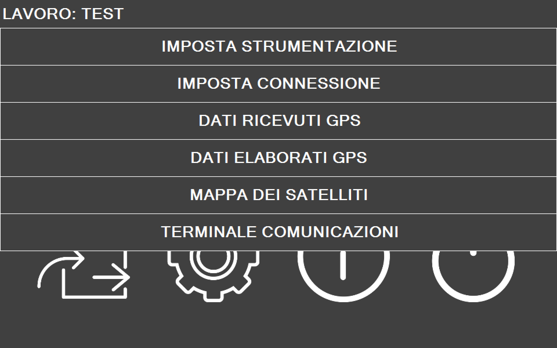
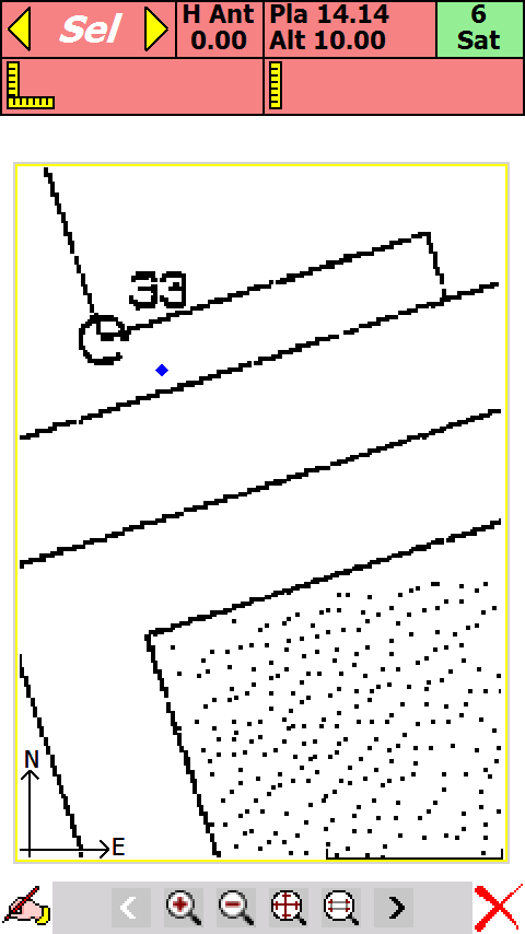
Software for surveying and topographic / cadastral surveys for GPS receivers in NMEA language, in POST-PROCESSING mode and RTK mode (single and double frequency).
pfGPS can be used in various sectors such as surveying, topography, cartography for boundary research, survey of dimensioned plans, positioning of artefacts, tracking.
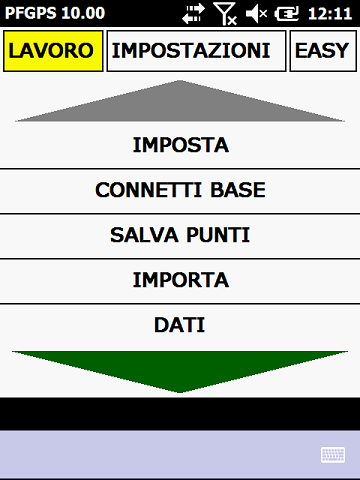
- possibility of installation on handheld computers with Windows Mobile 6.5 operating system (and lower)
- Bluetooth interface with GPS receivers
- module for connection to permanent GPS bases for RTK models
- repositioning of imported reliefs using one or three reference points
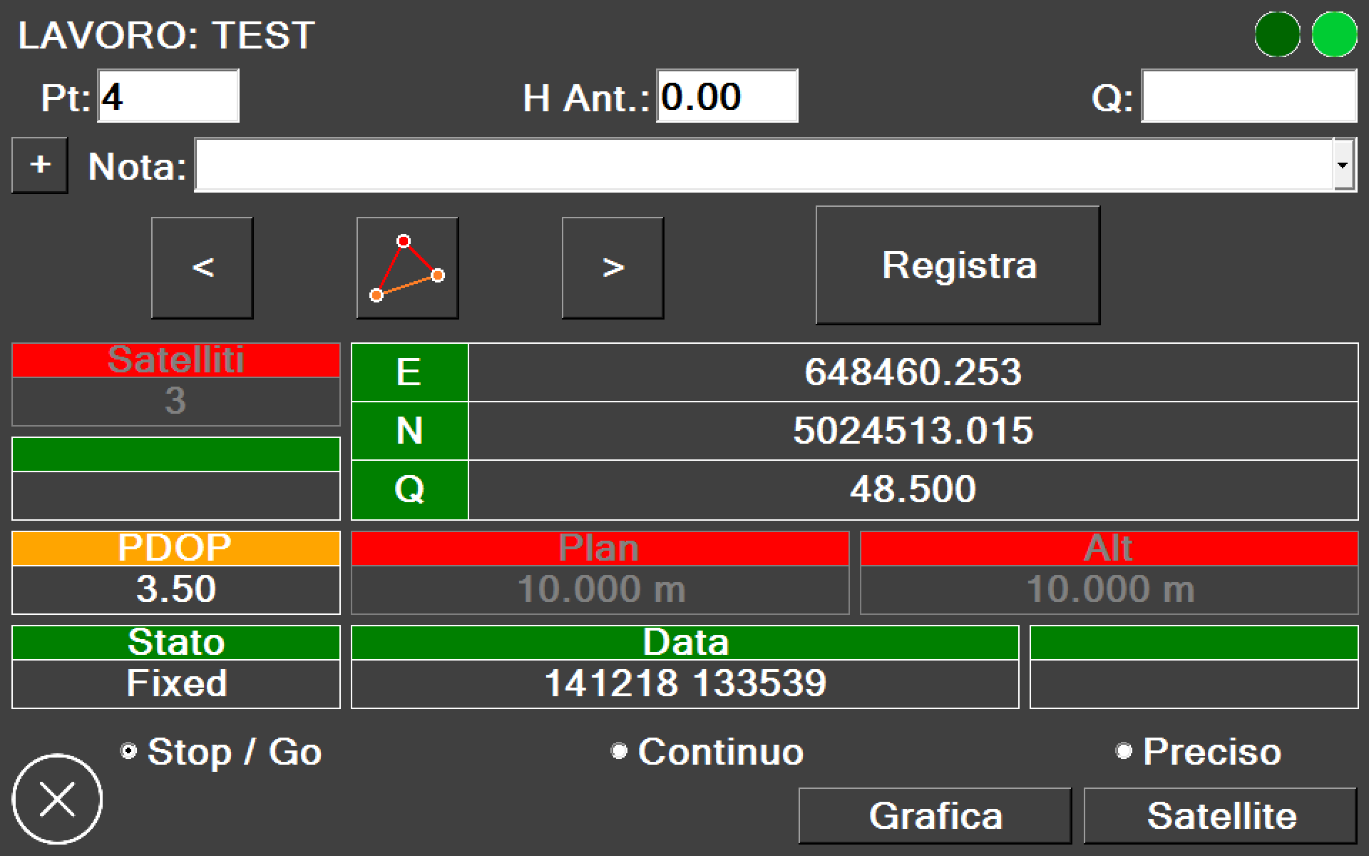
- recording in three different modes: Stop and Go - Kinematic - Static
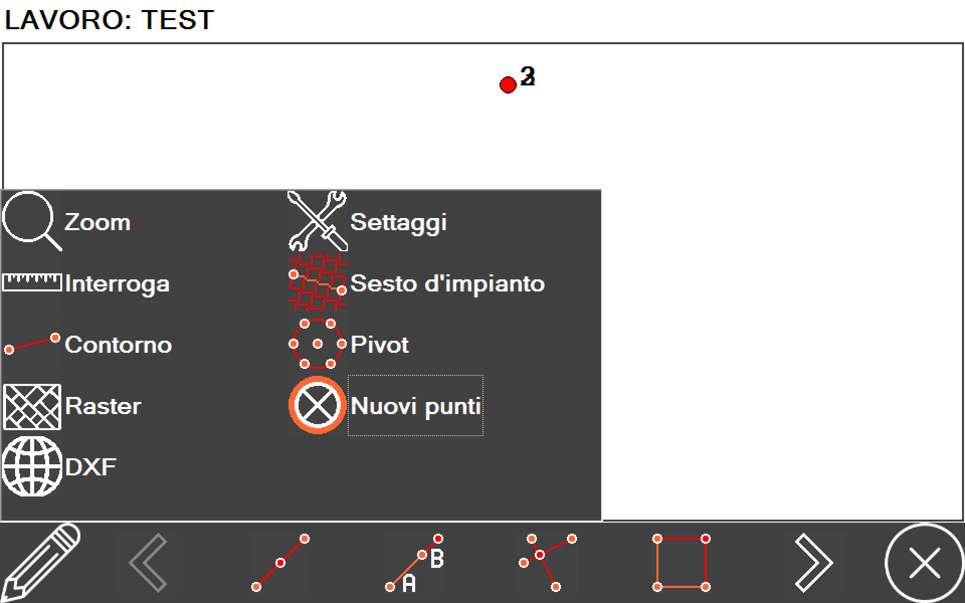
- tracing and searching for borders on a raster or dxf map
- export of the booklet in ASCII and DXF format
- use in EASY or EXPERT mode
- compatible with GPSKIT instruments (www.gpskit.it)
- compatible with SOUTH GPS
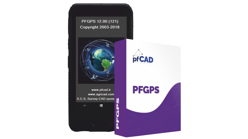
VERSION FOR TABLET - WINDOWS 10
PFGPS 12.00 (128) - Dim. 31.20 MB - Data 06/06/2019
VERSION FOR WINDOWS MOBILE
PFGPS 11.00 (120) - ITA - Dim. 5.52 MB - Data 17/05/2019
PFGPS 11.00 (120) - ENG - Dim. 5.52 MB - Data 17/05/2019
SOFTWARE to download data from the handheld to the PC
Windows Mobile device Center 32 bit
Windows Mobile device Center 64 bit
Microsoft Active Sync (for Win XP)