ask for a contact
- text
- download
- support
- video
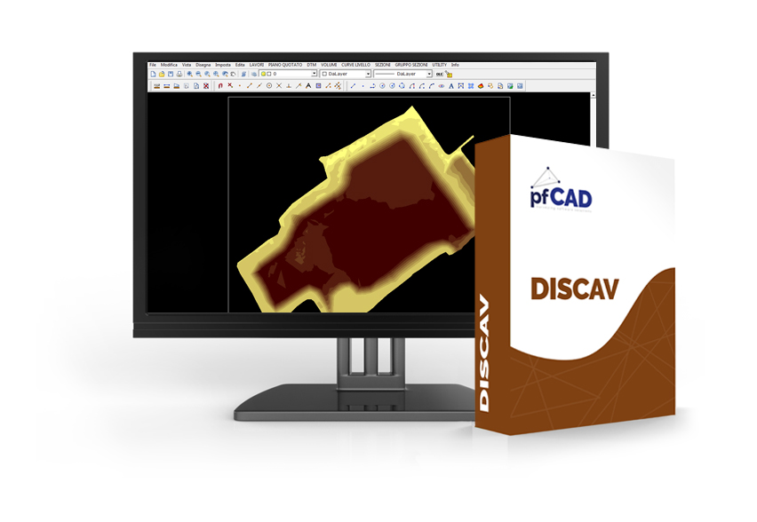
Discav is the indispensable tool for the design of quarries and landfills and for periodic handling controls, the drafting of cultivation plans, for accounting management and progress reports.
- Inputted from topographic data and calculation of volumes by sections and by prismides according to various methods
- Triangle, grid, 2D and 3D contour representation
- Advanced management of drawing and calculation of sections
- Management of the listed points and the Digital Terrain Model in a single archive where more topographic surveys can be inserted
- Land movement calculation for leveling, artificial pools, quarries, ponds, etc.
- Solver for polygonal, celerimetric, planoaltimetric
MANUAL
1 FILE
2 MODIFICATION
3 VIEW
4 DRAW
5 SETTING UP
6 EDIT
7 WORKS (PART 1 - PART 2)
8 PIANO QUOTATO
9 DTM
10 VOLUMI
11 CURVE DI LIVELLO
12 SECTION (PART 1)
13 SECTION (PART 2)
14 GROUP OF SECTION
15 UTILITY
16 DESIGN OF A GRADONATURA ON A CRINAL
DRIVERS
VIDEO
1 - Introduction
2 - Set new job
3 - Input from DXF file
4 - Import data from the topographic tool using PFCAD CATASTO
5 - From the points listed to the digital terrain model
6 - Vista 3D of the digital terrain model in AutoCAD
7 - Drawing of the Level Curves
8 - Project of an excavation in Discav
9 - Insertion of multiple Layers / Models / Surveys / Projects
10 - Calculation of volumes between 4 layers / models
11 - Drawing of sections
12 - Drawing of a section with 4 levels
13 - Drawing of a group of sections
14 - Project projection / merging with the survey